

Surveying
Precision Surveying Services
At UDM Group, we deliver accurate, reliable surveying services that form the foundation of successful planning, design, and construction projects across Australia. Our team of qualified professionals combines technical expertise with practical experience to provide the precise measurements your project demands.
UDM’s Comprehensive Surveying Solutions
Site Analysis and Topographic Surveys
Our detailed site analysis captures every aspect of your land—from elevation changes and existing structures to underground utilities. This comprehensive mapping ensures your design works harmoniously with the natural and built environment, preventing costly adjustments later.
- Complete terrain modelling
- Identification of site constraints
- Documentation of existing features
- Utility location integration
Layout and Positioning Services
When plans move to construction, accuracy becomes critical. Our survey technicians stake out your design with precision, ensuring foundations, walls, utilities and other elements are positioned exactly according to specifications.
- Building set-out
- Road and infrastructure alignment
- Precise control networks
- Regular position verification
As-Built Surveys
Once construction is complete, our as-built surveys document the final position and dimensions of all constructed elements. This creates an accurate record for future reference, maintenance planning, and compliance documentation.
- Verification against design specifications
- Comprehensive documentation
- Digital deliverables in required formats
- Quality assurance reporting
Volume Calculations
For earthworks, mining operations, or material management, our volume calculation services provide accurate measurements of material quantities, helping you control costs and manage resources effectively.
- Stockpile volumes
- Cut and fill calculations
- Progress monitoring
- Material reconciliation
Advanced Technology for Superior Results
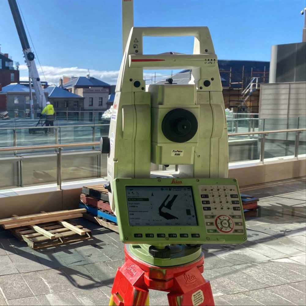
- Total Stations: For millimetre-accurate measurements in all conditions
- GPS/GNSS Systems: Providing real-time positioning data with centimetre precision
- Laser Scanning: Creating detailed 3D models of complex structures and environments
- Aerial Mapping: Using drone technology for rapid data collection across large areas
- Remote Sensing: Capturing data from difficult or inaccessible locations
Industry-Specific Expertise
Engineering Surveying
Mining Surveying
Engineering Surveying
Hydrographic Surveying
The UDM Group Difference
Qualified Professionals
Quality Assurance
Practical Solutions
Clear Communication
Professional Standards
Getting Started
Ready to ensure your project begins with accurate data? Contact UDM Group today to discuss your surveying requirements. Our team will work with you to develop a tailored approach that meets your specific needs.
- Initial consultation to understand project scope
- Customised proposal based on project requirements
- Clear timeline and deliverables
- Ongoing support throughout your project
Contact our team today on 03 6171 2555 or visit our website to request a quote.