

Aerial Photography
Gain a Strategic Perspective from Above
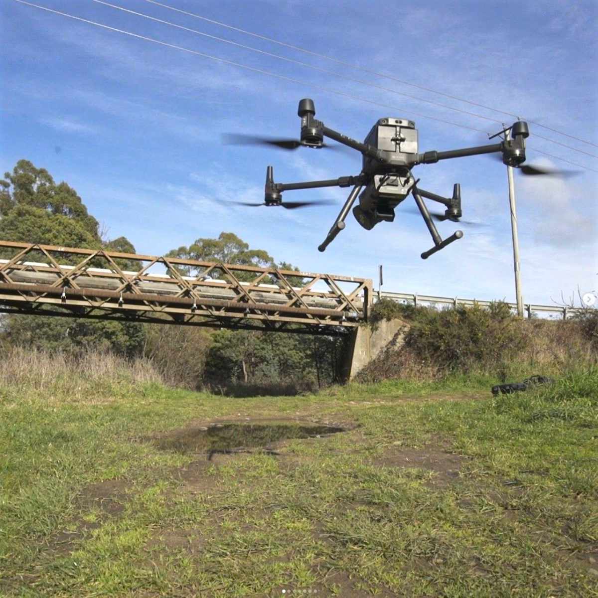
UDM Group’s aerial mapping and photography services deliver comprehensive visual insights that transform how you understand, plan and manage your projects. Using advanced drone technology and specialised equipment, we capture high-resolution imagery that reveals critical details invisible from ground level.
Our aerial mapping solutions provide decision-makers in construction, infrastructure, and land management with accurate, actionable data that drives efficiency, reduces risk, and enhances project outcomes.
Comprehensive Aerial Mapping Capabilities
UDM Group employs state-of-the-art drone technology and specialised sensors to deliver precise aerial mapping services across diverse environments and project requirements:
- High-Resolution Aerial Photography: Capture detailed vertical and oblique imagery for comprehensive site documentation
- LiDAR Mapping: Generate precise Digital Elevation Models (DEMs) with laser-based measurement technology
- Multispectral Imaging: Analyse vegetation health, environmental conditions and hidden features beyond visible light
- 3D Modelling: Create detailed three-dimensional representations of terrain, structures and landscapes
- Volumetric Surveys: Calculate precise measurements of stockpiles, excavations and earthworks
Industry Applications:
Construction & Infrastructure
Urban Planning & Development
Environmental Monitoring
Land Management
Mining & Resources
Service Options:
Vertical Aerial Photography
Oblique Aerial Imagery
LiDAR Mapping
Multispectral Imaging
Key Benefits:
Cost-Effective Data Collection
Enhanced Safety
Rapid Deployment & Results
Exceptional Detail & Accuracy
Flexible Output Formats
The UDM Group Difference
UDM Group brings together technical expertise, industry experience, and professional standards to deliver aerial mapping services that exceed expectations:
- Technical Excellence: Our team combines geospatial expertise with advanced equipment to ensure optimal results
- Customised Solutions: We tailor our approach to your specific requirements, selecting the appropriate airborne platform, flight path, and data collection methodology
- Regulatory Compliance: All operations adhere to CASA regulations and industry best practices
- Comprehensive Analysis: We don’t just collect data—we help you understand and apply it effectively
Integration Capability: Our deliverables seamlessly integrate with your existing systems and workflows
Get Started
When traditional methods fall short, UDM Group's aerial mapping services provide the comprehensive visual insights you need to make informed decisions with confidence.