

Utility Detection & Mapping.
UDM is a specialist team that uncovers and maps underground services, delivering clarity, accuracy, and confidence before construction begins.
Contact us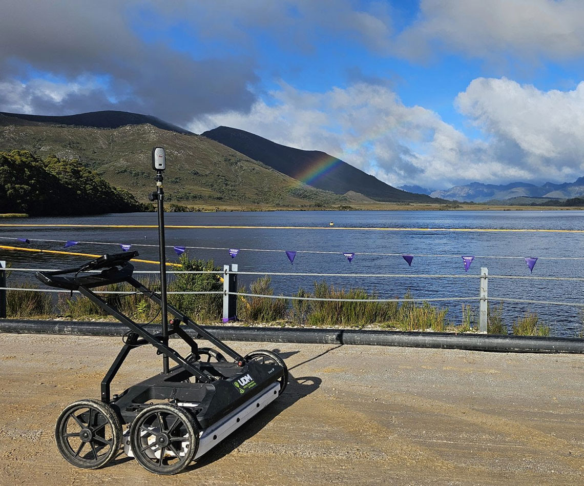
Our Services

GPR
Ground Penetrating Radar (GPR) locates underground objects using high-frequency radar signals

Utility Locating
Utility locating is the process of identifying and marking underground services like pipes and cables to prevent damage.
CCTV Inspections
CCTV pipe inspection uses a camera system to visually assess the condition and integrity of underground pipes.
Concrete Scanning
Concrete scanning uses radar to detect embedded objects like rebar, cables, and pipes within concrete structures.

Surveying
Surveying delivers the precision you need to build with confidence, providing accurate data for planning, design, and construction.

Aerial Photography
Drone aerial photography captures sharp, high-angle imagery for fast, accurate site insights.

Lidar
With high-resolution LiDAR, UDM delivers precise mapping—even in hard-to-reach or heavily vegetated areas.

Utility Mapping
Utility mapping reveals underground services before you dig—protecting people, assets, and timelines.